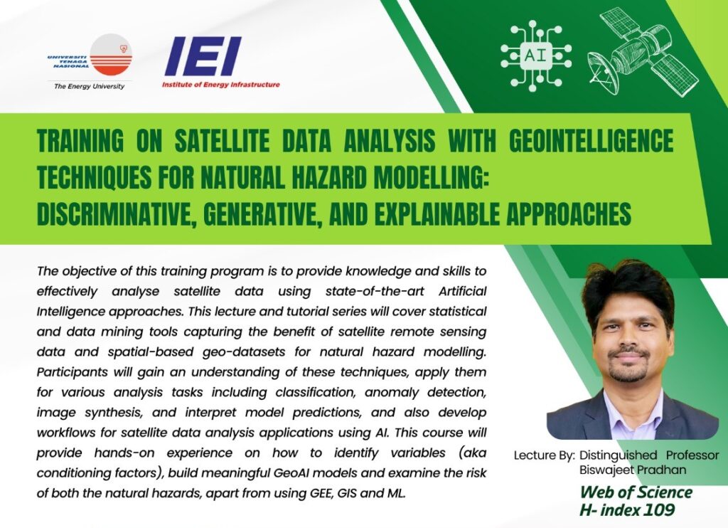
Training On Satellite Data Analysis With Geointelligence Techniques For Natural Hazard Modelling
Date: 23 – 28 May 2024
Location: Level 1, Nebula The Energy Sphere (TES), Universiti Tenaga Nasional
Duration: 8:00 am – 5:00 pm


Date: 23 – 28 May 2024
Location: Level 1, Nebula The Energy Sphere (TES), Universiti Tenaga Nasional
Duration: 8:00 am – 5:00 pm
It had become a far too common an event in her life. She has specifically placed the key to the box in a special place