Cluster 3 – Rapid Debris
Home > Cluster 3 – Rapid Debris
Cluster 3 – Rapid Debris

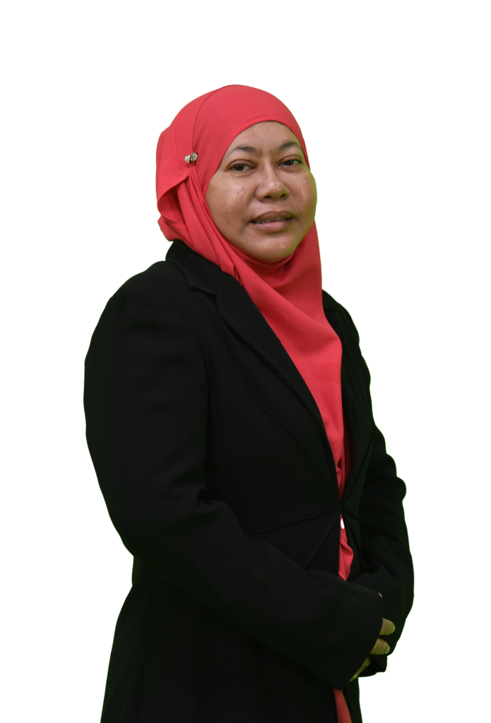
Prof. Dato' Ir. Dr. Norashidah Md Din
Head of Cluster 1 -
Satellite Geointelligence
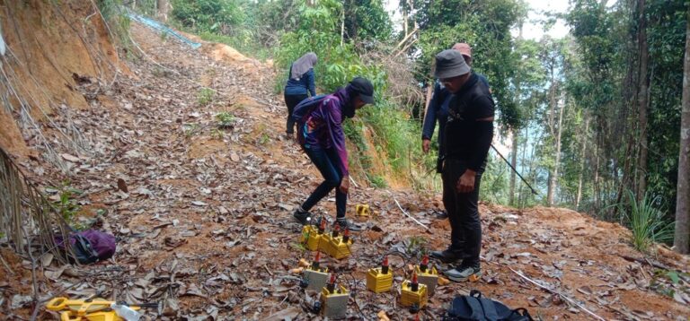
By utilizing our very own satellite imagery and sophisticated algorithms, we can detect anomalies such as landslides, vegetations, or floods in remote places in Malaysia. It also enables for Object Classification, Geospatial Environmental modelling for our clients all in real time. This proactive approach enables early warning systems that significantly reduce downtime and maintenance costs while enhancing the safety and reliability of energy supply networks. From the ability to monitor power girds to pipelines and renewable energy sites, our satellite-based monitoring team is capable to cater to the needs of enriching the daily lives.
Through strategic collaborations with government agencies, research institutions, university partnerships and others, we have successfully implemented this technology in various regions, demonstrating its effectiveness in preventing potential disasters and improving performance. As we continue to innovate, integrating AI and big data, we aim to expand the applications of satellite-based anomaly detection to cover more extensive and complex infrastructure networks.
Recent Events


